This is the second in a series of articles that seeks to outline the steps required to subdivide land and illuminate some of the practical issues, from a surveyor’s perspective.
Step 1 is a focus on investigating whether a particular site can feasibly be subdivided. This is typically a desktop assessment that considers the site itself, the relevant District Plan rules, the infrastructure and services (or lack of) to the site and other relevant information.
The initial investigation seeks to garner some confidence that the site can be subdivided under the relevant rules but also identify the areas of risk for the proposed subdivision. Some subdivision risk comes from the ‘unknowns’, like what infrastructure needs to be built and what it will cost, what the ground conditions are like, how the topography will affect the subdivision design and yield, what restrictions apply to the site (eg flood hazards, historical or archaeological). This information feeds into the design and cost of the subdivision.
Steps 2, 3 and 4 seek to uncover more accurate and site specific information to enable the best design for the subdivision and to begin to build a better understanding of what the subdivision will cost.
Step 2: Site Information Collection
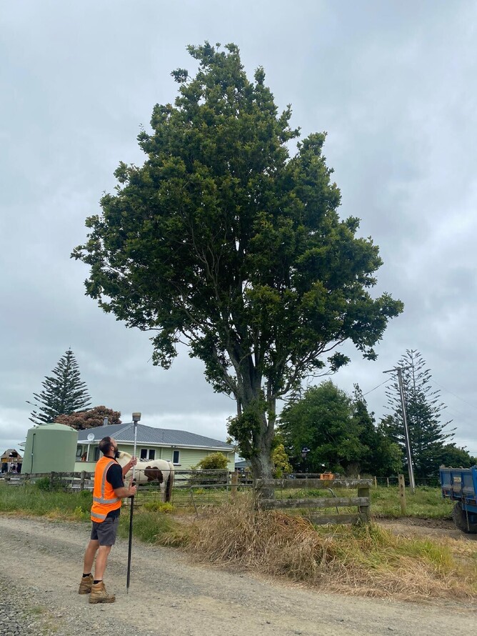
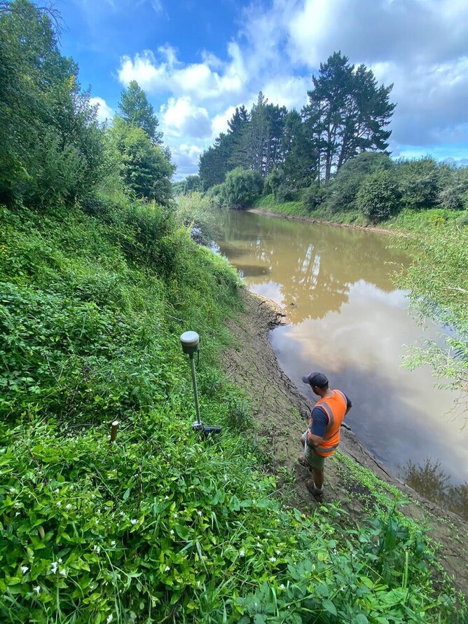
Step 2 seeks to collect more specific, detailed information about the site itself. This will require a physical survey of the site to collect information about the topography and site features. This survey can include:
Contours and elevations: to show the slope and height variations of the land (topographic information).
Natural features: identifying trees, waterways, gully slopes and other natural features.
Manmade features: mapping fences, buildings, vehicle crossings, driveways.
Utilities (e.g. power, telecommunications, water, wastewater, stormwater): identifying the position of above ground and underground infrastructure (this may require the assistance of a Service Locate company).
Boundaries: identifying the position of existing boundaries.
In this period, it will also be common to engage a geotechnical engineer and stormwater engineer so they can begin site testing and produce reports that will help to inform how the subdivision or land development will proceed with respect to foundations, pavement formation, stormwater management (etc as relevant). These reports are submitted to Council later as part of the application for subdivision (and land use) consents.
The site survey information (collected by the surveyor) can be provided to the geotechnical and stormwater engineers to assist their work, and is used to design the subdivision. With this information the surveyor lays out the proposed lots whilst taking account of existing buildings, trees or other features that are to be kept, topography, likely building platforms, existing infrastructure (eg power poles), vehicle crossings.
If the subdivision is to be done concurrently with a built development, the surveyor and the architect will coordinate so that the building designs and the subdivision align and can be achieved under the relevant District Plan. For built developments close attention must be paid to multiple elements. Some of these are: building setback lines, height in relation to boundary, minimum permeable areas, maximum site coverage, vehicle access; there are many more land use rules to meet.

